What are the stages of the Stevenson Trail?
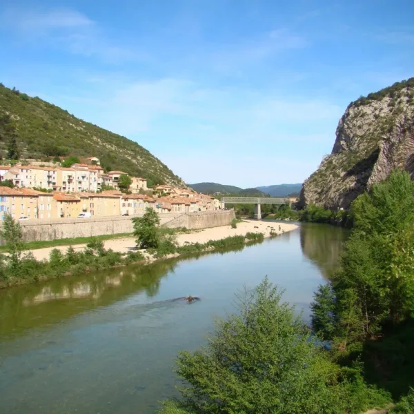
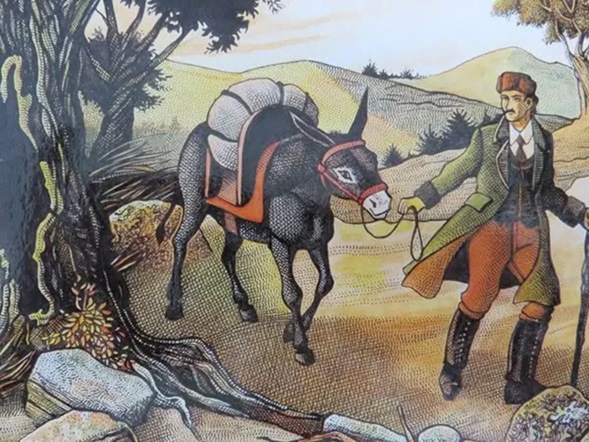
The route is generally covered in 12 stages ranging from 13 to 29 km, plus a final optional stage to Alès. Stevenson set out from Le Monastier-sur-Gazeille, but most hikers start in Le Puy-en-Velay, which is easier to reach by train.
Step 1: Le Puy-en-Velay, Le Monastier-sur-Gazeille
19 km, +550 m / -230 m. The route begins near the cathedral in Le Puy-en-Velay. The stage climbs toward the volcanic plateaus of the Velay and leads to Le Monastier-sur-Gazeille, the true starting point of Stevenson’s journey.
Step 2: Le Monastier-sur-Gazeille, Le Bouchet-Saint-Nicolas
24 km, +650 m / -350 m. First historic stage: descent toward the Loire Gorges and the village of Goudet, then ascent toward Lac du Bouchet, a crater lake at an elevation of 1,200 m.
Step 3: Le Bouchet-Saint-Nicolas, Pradelles
21 km, +250 m / -315 m. An easier stage across the highlands, all the way to Pradelles, ranked among the most beautiful villages in France.
Step 4: Pradelles, Le Cheylard-l’Évêque
22 km, +390 m / -420 m. The route passes through Langogne and enters the Lozère department near Lake Naussac. The trail then winds its way into the forests of Gévaudan.
Step 5: Le Cheylard-l’Évêque, La Bastide-Puylaurent
27 km, +655 m / -760 m. The stage passes beneath the ruins of Luc Castle, topped by a statue of the Virgin Mary that Stevenson saw just before its dedication, and then follows the Allier Valley.
Step 6: La Bastide-Puylaurent, Chasseradès
13 km, +350 m / -200 m. A short stage, passing bythe Notre-Dame-des-Neiges Abbey, at an elevation of 1,100 m, where Stevenson was welcomed by the Trappist monks. Today, Cistercian nuns welcome hikers there.
Step 7: Chasseradès, Le Bleymard
17 km, +610 m / -690 m. The trail passes at the foot of the Mirandol Viaduct, a 30-meter-high stone railroad bridge, then crosses the Goulet Mountain before descending into the Lot Valley.
Step 8: Le Bleymard, Le Pont-de-Montvert
19 km, +820 m / -1,015 m. The most spectacular stage: the crossing of Mount Lozère via the Finiels summit (1,699 m), the highest point on the trail, amid heathland and granite outcrops. Descent to Pont-de-Montvert, a granite village on the banks of the Tarn, a key site in the history of the Camisards.
Step 9: Le Pont-de-Montvert, Florac
29 km, +690 m / -940 m. The longest and most challenging route, coming right after Mont Lozère. The trail follows the ridges of the Bougès before reaching Florac, the headquarters of the Cévennes National Park.
Step 10: Florac, Cassagnas
19 km, +340 m / -180 m. A restful stage along the Mimente Valley to the village of Cassagnas, mentioned by Stevenson.
Step 11: Cassagnas, Saint-Étienne-Vallée-Française
24 km, +350 m / -450 m. A journey through the schist-covered Cévennes: an ascent to Plan de Fontmort, a stop in Saint-Germain-de-Calberte, chestnut groves, and stone hamlets.
Step 12: Saint-Étienne-Vallée-Française, Saint-Jean-du-Gard
13 km, +480 m / -600 m. The final historic leg of the journey takes you over the Col de Saint-Pierre, offering beautiful panoramic views of the Cévennes valleys. It was in Saint-Jean-du-Gard that Stevenson ended his journey.
Step 13 (optional): Saint-Jean-du-Gard, Alès
23 km, +850 m / -900 m. Stevenson didn’t hike this trail, but it leads to the Alès train station through oak and chestnut forests. Some sections along the ridges are more technically challenging than they appear.